Post by Deleted on Dec 10, 2013 6:59:44 GMT 1
I've noticed on this forum that there aren't very many theories about NFSMW, definitely not as much as there are about Carbon. There has to be something interesting about Rockport, right? This 1st attachment is the beta map. It looks pretty close to the in game map. But there are 3 curious looking areas.
The tunnel by Little Italy (The riverbeds in NFSMW ) is alot longer and wraps all the way around to the Times Square area in downtown. The 2nd area is the little strip of road just north of the baseball stadium. Was that supposed to be a drift course or something? It looks like the 1st drift course from NFSU. If it isn't a drift course, I don't know what it is. The last interesting thing about this particular map is the fact that there is no escape route like in the final version. The topography ( Little spots on maps that show where mountains and hills are ) by where the end of that road is supposed to be looks pretty mountainous, meaning that at the end of that road should be a twisty road, and then a canyon route.
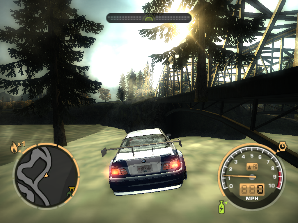
Now if you've played NFSMW or NFS World, you'll notice that there are 5 inaccessible bridges by Rosewood Park Loop and the baseball stadium. 3 of them look like they lead to that small district that goes up into the mountains, the ones with apartments and hotels. The other 2 are more interesting, they seem to lead off into the valley behind the mountains. Actually no, the one by the stadium leads to the other stadium across the highway, which is inaccessible. It DOES have grass textures but it's not drivable, one of my RL friends did the out of level glitch in World and found a grass patch in the middle of the stadium. Now there are 3 more in Camden, and 1 of them is a train bridge, I know that for sure. The other ones seem to have a pavement texture and lead to inaccessible neighborhoods, one to the north of the gas station in Grey Point, and the other is unknown.
Also, you have the RP turnpike, seen in NFSMW but not accessible until NFSW. It has a different location in MW and it seems to be longer there too. We have no idea where the bridge leads, so far. And we don't know how the player arrives in RP from Bayview either. One possible answer is that the RPX Airport in downtown used to have a runway, terminals, and everything you'd see in a typical airport, like in Bayview's airport. Proof? There's a video lying around that if you pause it at the right moment, there's a big strip of road leading right next to the 2 loops on the freeway in downtown. This is most likely supposed to be a runway, and that would mean the player would have to arrive by plane. That could also have been the lower west side of Rockport, notice there are alot of highrises to the west in downtown. In that case we still have no clue how he got from BV to RP.
One last thing, someone on here actually mentioned this awhile back: There's a mysterious island to the northeast of Grey Point, and it looks like it has a warmer climate than the rest of Rockport. Does this mean that the map of Rockport was actually screwed up like Olympic City, and the map's turned upside down? It's just a texture as far as I've noticed, but if not it could be really interesting.
Anyways, this last attachment is what I think the map would've looked like had it been finished. Thoughts?


 ( Credit goes to I Am the Most Wanted )


